
The ride
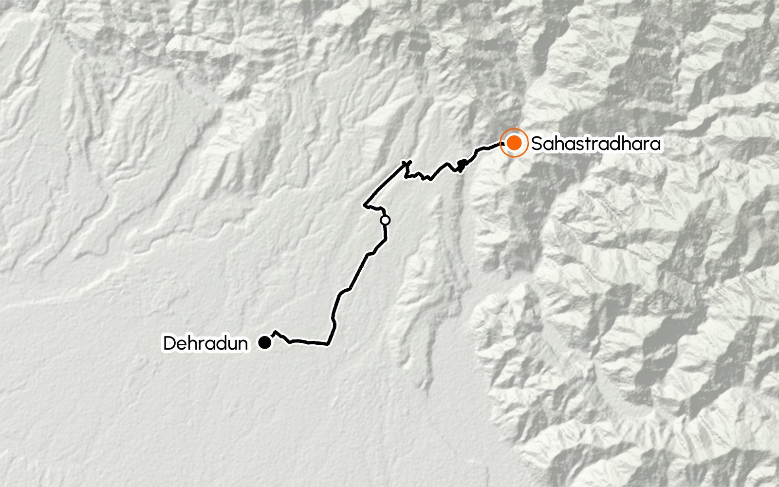
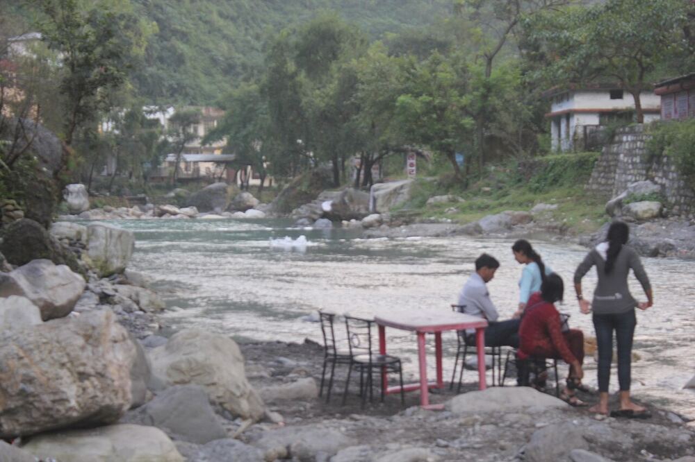
A short, easy ride north-east from the city along Sahastradhara Road, climbing gently to the sulphur springs 14 km out. Sahastradhara means "thousand-fold spring": water drips from mossy limestone ledges and caves into the stream, and many visitors bathe in it for its sulphur.
Make a half-day loop of it: the springs in the morning, then back across town to Tapkeshwar's cave temple and the gorge at Robbers Cave.
Along the way
Clock Tower (Ghanta Ghar)
Head north-east out of the centre towards Sahastradhara Road.
IT Park, Sahastradhara Road
Past the IT Park the city thins out and the road climbs gently towards the hills. Tasalli, the rooftop café, is on this stretch: a good stop on the way back.
Sahastradhara
Sulphur water drips from limestone caves and ledges into the stream below. There is a ropeway up the hill for the view, and stalls selling chai, Maggi and pakoras.
Roughly 8 AM–7 PM; check locally
Tip: The rocks are slippery: wear footwear with grip.
What to see and explore
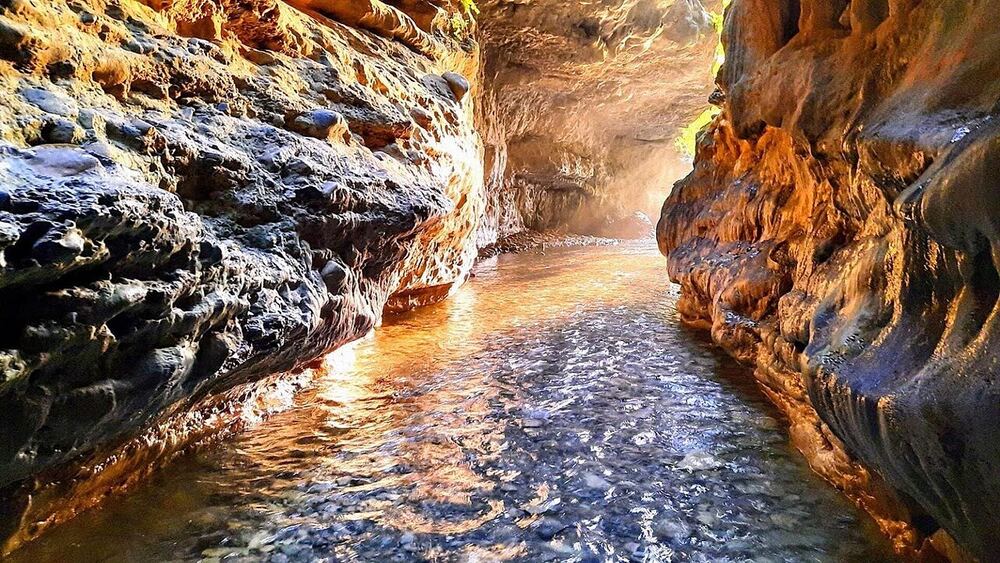
Robbers Cave (Guchhupani)
A narrow limestone gorge north of the city where a stream runs through a cave. You walk up the stream bed in ankle- to knee-deep water.
Tip: Wear sandals or shoes you do not mind getting wet.
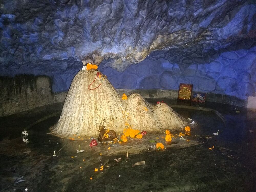
Tapkeshwar Mahadev
A cave temple on a stream bank in Garhi Cantt, where water drips onto the Shivling from the rock above.
Cafés and food
Tasalli The Rooftop Café
A rooftop café on Sahastradhara Road (opposite the Electricity Office, Rishi Nagar) with views over the hills.
Stalls at the springs
Chai, Maggi, corn and pakoras by the water. Simple, and exactly right after a dip.
Ride safe
- Helmets are compulsory for rider and pillion.
- Go early: the springs are crowded after 11 AM on weekends.
- In the monsoon (July to September) the stream can rise fast after rain in the hills. Stay out if the water is brown or rising.
- Carry a change of clothes if you plan to get into the water.
Opening hours change with the season. Check locally before you set off.
Photos via Wikimedia Commons: Pinakpani (CC BY-SA 4.0); Daniel Romanson (CC0); Jassimehra (CC BY-SA 3.0). Map relief from SRTM elevation data; roads © OpenStreetMap contributors.