
The ride
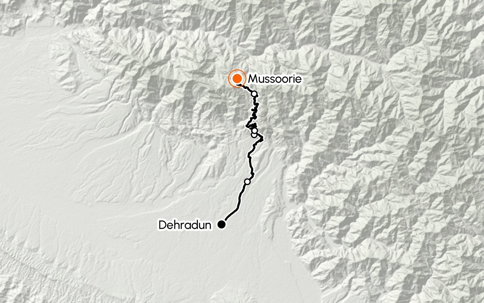
The classic Doon ride: 33 km from the Clock Tower to Library Chowk, climbing from about 640 m to just over 2,000 m. The first 10 km up Rajpur Road are city traffic; after the Mussoorie Diversion the road winds up through sal forest, past the Maggi points and their views over the whole valley, to the Kolhukhet barrier. The last 11 km are tight hairpins of ghat road.
Give yourself the whole day: park in Mussoorie, walk the Mall, then ride up to Landour for Char Dukan, St Paul's Church and the Himalayan view from Lal Tibba. Kempty Falls is a 13–15 km detour beyond the town.
Along the way
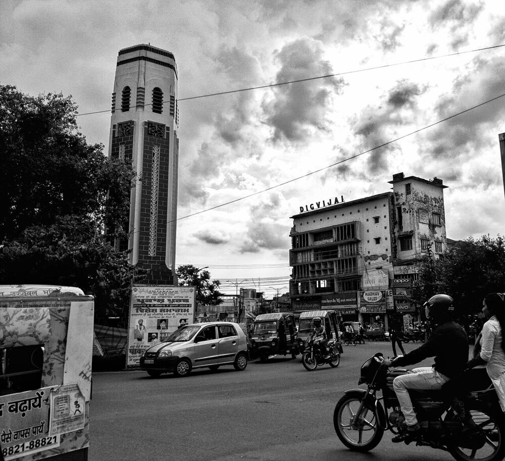
Clock Tower (Ghanta Ghar)
Start in the centre of Dehradun and head north up Rajpur Road. Fill the tank in the city: there are few pumps once the climb starts.
Mussoorie Diversion
At the Pacific Mall junction on Rajpur Road, bear right for Mussoorie. The traffic thins and the climb begins through sal forest.
Maggi points
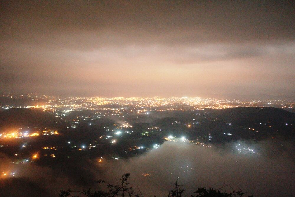
From about 14 km out, stalls on the outer edge of the bends serve Maggi, bun-omelette and chai. Pull into one with a proper parking bay and look back over the whole Doon valley. After dark the city lights spread out below.
Tip: Park fully off the tarmac and well away from the bend.
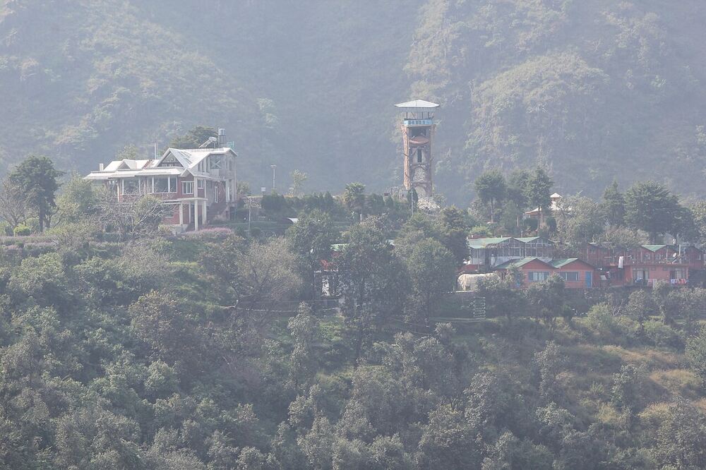
Kolhukhet
The municipal barrier for Mussoorie: keep UPI or change handy in case a toll is being collected. Above here the road narrows into tight hairpins for the last stretch.
Bhatta Falls
About 7 km before Mussoorie, near Bhatta village: a small, family-friendly fall with pools, reached by a short ropeway or a walk from the road.
About 8 AM–5 PM
Tip: Parking fills quickly on summer weekends.
Kingcraig
The fork at the edge of town. Left for Library Chowk, Gandhi Chowk and the road to Kempty Falls; right for Picture Palace, Kulri and Landour. Kingcraig has multi-level parking if you would rather walk.
Mall Road, Mussoorie
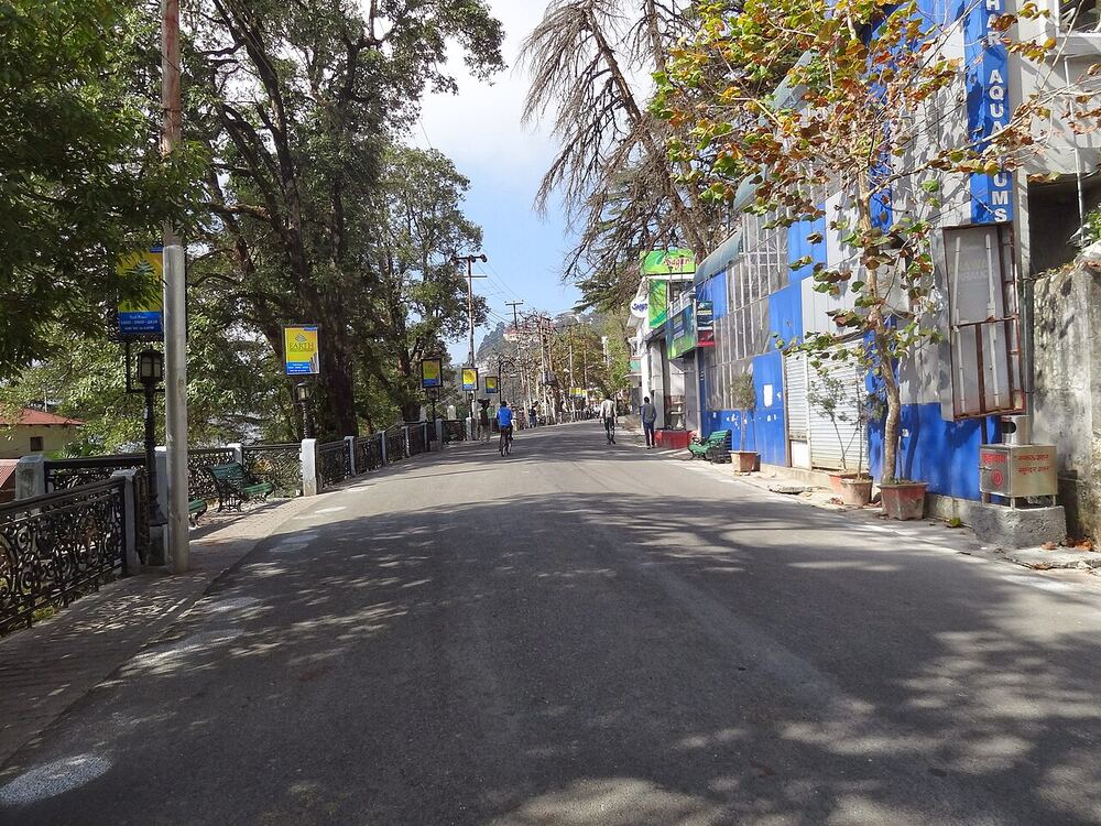
Mussoorie's promenade between Library Chowk and Picture Palace: shops, cafés and views down to Dehradun. Park and walk it.
Closed to vehicles 4:30–10:30 PM
What to see and explore
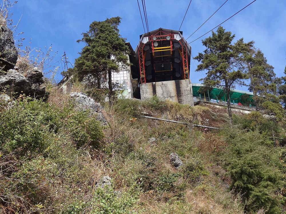
Gun Hill
A short ropeway from Mall Road climbs to one of Mussoorie's highest points, with views over the town and, on clear days, the snow peaks.
Camel's Back Road
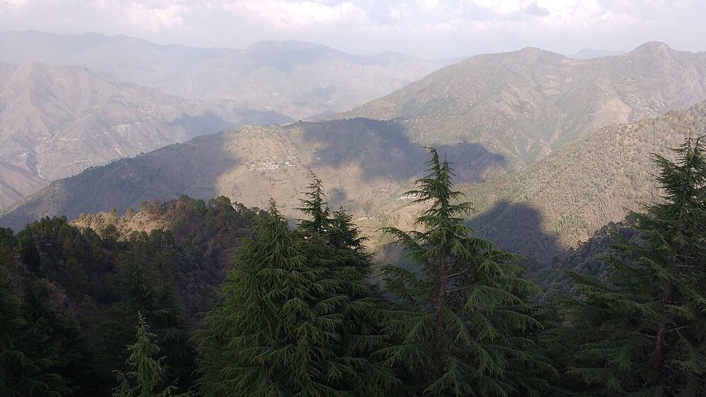
A quiet 3 km road from Kulri to Library, named after a rock outcrop shaped like a camel's hump. Best on foot in the evening, when the sun sets over the hills.
Lal Tibba, Landour
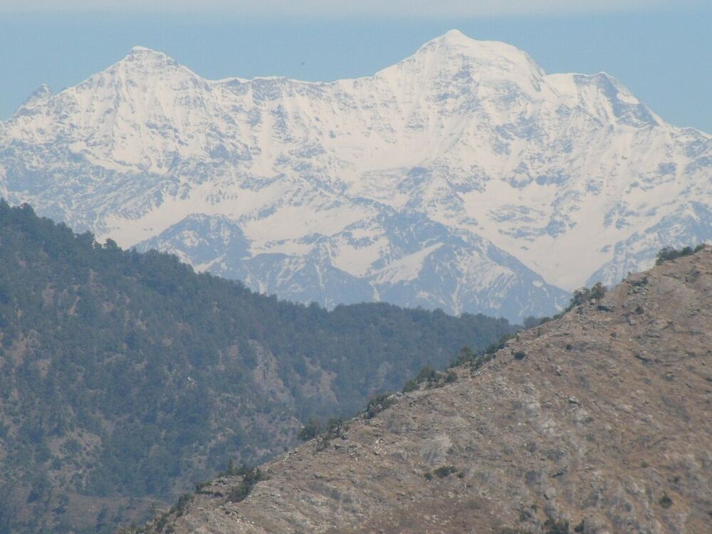
At 2,275 m, the highest point in Landour. On a clear morning the line of snow peaks runs from Bandarpoonch and Swargarohini to Kedarnath and Badrinath.
Tip: Clearest October to February, before mid-morning.
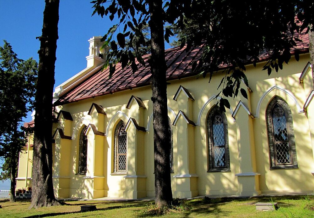
St Paul's Church
A church from 1840 at Char Dukan in Landour, among cedars on the ridge.
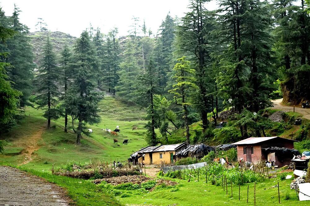
George Everest's House
The restored home and laboratory of Sir George Everest on the Park Estate, west of Library Chowk, on an open ridge with wide views over the Doon valley.
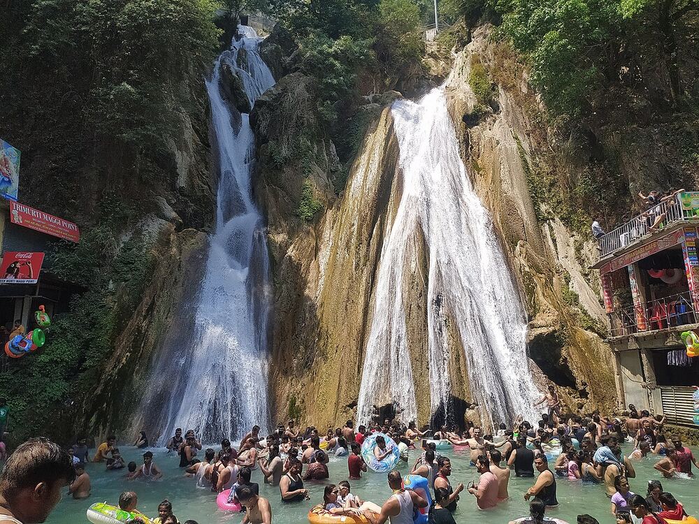
Kempty Falls
13–15 km beyond Mussoorie on the Chakrata road: the best-known falls in the area, dropping in tiers into pools you can wade in. Very busy on summer weekends.
Daytime; timings vary, check locally
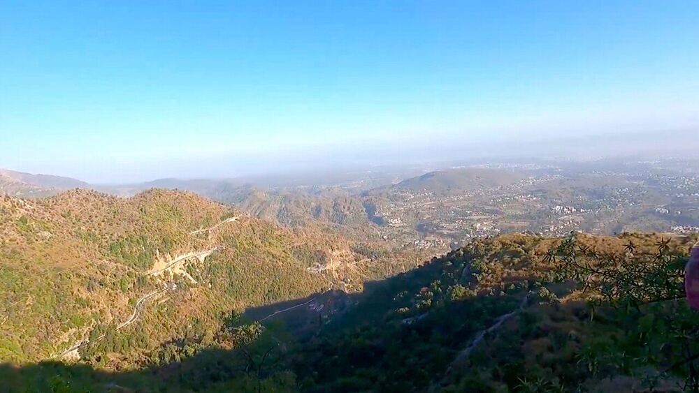
Kipling Trail
The old bridle path from Rajpur up to Mussoorie, about 9 km on foot, starting near Shahanshahi Ashram. Views over the Doon valley the whole way.
Cafés and food
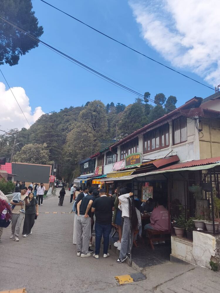
Char Dukan
The cluster of old shop-cafés by St Paul's Church in Landour: bun-omelette, pancakes, Maggi and hot chocolate.
About 9 AM–7 PM
Landour Bakehouse
A bakery café in an old Landour house, known for its apple pie and cakes.
About 8 AM–7 PM
Prakash Store, Sisters Bazaar
Landour's old provision store, famous for home-made peanut butter, jams and cheddar to take home.
Kalsang, Mall Road
Tibetan food on Mall Road: momos, thukpa and noodle soups for a warm-up after the ride.
Chic Chocolate, Mall Road
A long-running Mall Road café for coffee, hot chocolate and snacks.
Ride safe
- Helmets are compulsory for rider and pillion.
- On weekends traffic backs up below Kolhukhet by mid-morning. Leave before 8 AM.
- Mall Road is closed to vehicles from 4:30 to 10:30 PM. Park at Kingcraig or Library and walk.
- December to February mornings can bring black ice in the shade near Landour and Lal Tibba. Ride slowly and stay off the brakes on ice.
- Never overtake on blind bends. Sound the horn before each hairpin.
- Landour runs one-way loops on busy weekends: follow the police signs.
- Coming down, use a low gear and engine braking. On the Activa, brake in short, firm squeezes.
Opening hours change with the season. Check locally before you set off.
Photos via Wikimedia Commons: Poojamangrolia (CC BY-SA 4.0); Aditya Oberai (CC BY-SA 4.0); Faizking321 (CC BY-SA 3.0); Pinakpani (CC BY-SA 4.0); Harshanh (CC BY-SA 3.0); Harshanh (CC BY-SA 3.0); SHUVADIP (CC BY-SA 4.0); Paul Hamilton (CC BY-SA 2.0); Ps14061990 (CC BY-SA 4.0); BestMan20 (CC0); Daniel Romanson (CC0); SMarndi (CC BY-SA 4.0). Map relief from SRTM elevation data; roads © OpenStreetMap contributors.